Transport, too, is being changed by digital technologies, although the pace of change has been slower because of the high level of regulation, enormous installed base of infrastructure and capital goods, and the very high dependency of people and businesses on continuity of transport services.
The availability of location data has been an inhibitor to change. Current transport networks depend on technologies devised to solve the problem of not knowing where people and things actually were. The bus stop is a great solution to enable people and vehicles to coincide in time and space. However, Uber operate without this constraint (although they have not, to date, managed to make money from that insight within the current regulatory framework.)
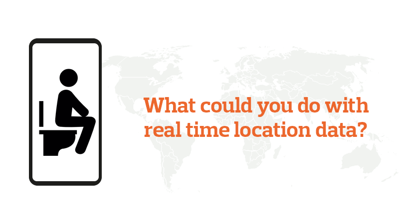
Uber demonstrate the point that it is not the gadget that creates new possibilities; it is how data gathered can be used to imagine new ways of delivering services. Neither the car, nor the road needs to be instrumented if the travellers are instrumented, and travellers carrying a mobile phone are choosing to make their location and all their movements, known. About 2/3 of the entire world’s population has a phone or mobile device and half of all the people on earth have a smartphone (…more people have a smartphone than an indoor toilet.)
Working out the implications of the availability of personal location data at scale is a critical activity for any organisation involved in providing transport. (Have I mentioned TRL’s amazingly talented team of data scientists and statisticians, unsung heroes who work on nearly every report we generate?)
For this blog, though, I want to focus on a rather different implication of this new reality.
For some years now there has been a lot of excitement about ‘Connected & Automated Vehicles’ (CAVs, in the jargon). Mostly this has focused on the ‘Automated’, with a lot of discussion about ‘robotaxis’ and similar visionary ideas. Making self-driving cars has turned out to be harder than many thought. Meanwhile, the ‘Connected’ revolution has been gathering pace. According to a Frost & Sullivan report for the SMMT in 2019, roughly three-quarters of new cars sold in the UK are ‘connected’, with the proportion growing every year.
Connectivity that is used to offer satnav or other driver information services is, of course, useful. But interesting things can happen when it is associated with another long-term trend in automotive engineering. Increasingly, mechanical functions are being augmented or replaced by electronic processes. Many modern cars are now ‘fly by wire’ (a term borrowed from aerospace engineering where it originated.) In plain English this means that when the driver presses the accelerator they are not pressing down on a lever connected to a wire that moves a valve that lets more fuel into the engine. That’s what used to happen. What happens now is that the action is interpreted by a computer system that controls a series of injectors: there is no mechanical connection between pedal and engine. The same computer is receiving signals from the suspension, engine, transmission: all of the car’s systems in fact.
In the world of aerospace this change is further advanced. Thousands of sensors in each Rolls-Royce jet engine generate data on every aspect of every component’s performance, moment by moment, that is fed back to the manufacturer so that engineers can monitor, diagnose and prevent problems on every engine on every aircraft for every flight. The quantities of data are impressive: an average flight will generate 500Gb of data per flight, and long-haul flights will create terabytes of data to be analysed.
The costs and risks of air travel are quite different to popping down to the shops in the family runabout and I don’t expect the condition of your big end to be monitored in real-time by your car manufacturer during your trip Sainsbury any time soon. However, when your car goes in for service, summary information is uploaded to the service computer in the garage to identify maintenance required. This summary information is created by processing the raw data streams, which are then discarded.
But processing data and storing data both have costs and there is a trade-off to be managed: what data needs to be monitored and then thrown away, how much processing should be done in the vehicle, what needs to be stored for later retrieval, what data should be anonymised, and how and when to transmit it to external storage?
There can be some interesting implications of these decisions. Rail operators are using the information from the sensors in train axles to infer the condition of the tracks: correlating the data streams from all of the bogies on all of the trains passing over the same rails can generate insights that can save money on maintenance and reduce the sort of problems that cause delays or even, at the extreme, derailments.
Could we imagine doing the same for the roads? Dedicated vehicles covered with lasers and other high-tech monitoring devices are currently used to survey road surfaces to detect potholes or deteriorating surfaces…but there are not many of these vehicles and there is a lot of road out there. How much better would it be to aggregate data from all of the vehicles on the road to help maintain the roads more effectively and more cheaply? What if your trip to Sainsbury were, after all, generating data that went, not to Rolls-Royce’ global HQ, but to the local council so they could fix that irritating pothole that threatens your suspension?
This is a classic transport problem: there are technical aspects to the solution, of course, but the things that prevent it being done are not just technical. To make this real, car manufacturers would have to ensure the right data was captured and transmitted to someone who could be trusted to use it to identify problems which would then be prioritised and solved. Imagining using more data as a better way to solve a problem is an important first step, but a complete solution will inevitably require changes to infrastructure, regulation and operations as well.
